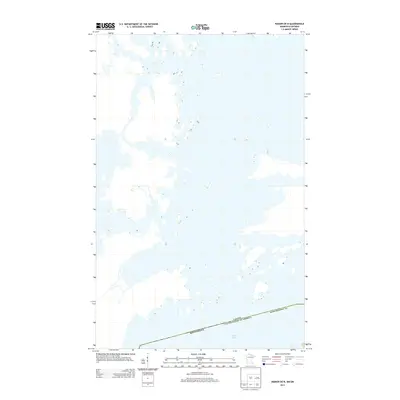
2013 Map of Ranier OE N
USGS Topo · Published 2013About this map
Rainy Lake dominates this northern landscape, where the international border separates the United States from Canada. This aqueous geography, surveyed in 2013, highlights the intricate archipelago of islands and narrow channels that define the boundary between Minnesota and Ontario. The map specifically focuses on the waters within Koochiching Co, showing the topographic detail of the rocky shoreline and the small, unnamed landmasses scattered throughout the lake. This chart is a specialized study of the water-to-land interface, documenting the hydrographic complexity of this border region as it appeared in the early 21st century.
Find a feature on this map
4 named features on this map. Tap any name to fly to it.
Don’t see what you’re looking for? This feature index may not catch every label — zoom into the map to look around manually.
Map Details
Editions of this 2013 Ranier OE N Map
This is the sole edition of this map. No revisions or reprints were ever made.
Other maps of this area

1919 · International Falls
USGS Topo · 1:62,500

1954 · International Falls
USGS Topo · 1:250,000

1957 · International Falls
USGS Topo · 1:250,000

1958 · International Falls
USGS Topo · 1:250,000

1963 · Ranier
USGS Topo · 1:24,000

1969 · Island View
USGS Topo · 1:24,000

1969 · Ranier
USGS Topo · 1:24,000
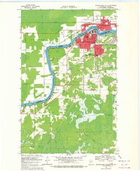
1969 · International Falls
USGS Topo · 1:24,000
1978 · International Falls
USGS Topo · 1:100,000
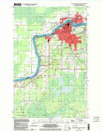
1999 · International Falls
USGS Topo · 1:24,000