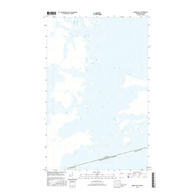
2016 Map of Ranier OE N
USGS Topo · Published 2016About this map
Rainy Lake dominates this northern frontier landscape, where an intricate network of islands and inlets straddles the international boundary between Minnesota and Canada. The map illustrates the complex hydrography of the region as it appeared in 2016, with the southern portion of the sheet anchored by the border of Koochiching Co. This specific perspective highlights the numerous unnamed small islands and rocky outcrops that define the aquatic passage along the border of the United States of America. The detailed shoreline and wetland data provide a precise look at the seasonal and geographical character of this boreal lake environment, serving as an important resource for understanding the contemporary geography of the Rainy River District.
Find a feature on this map
4 named features on this map. Tap any name to fly to it.
Don’t see what you’re looking for? This feature index may not catch every label — zoom into the map to look around manually.
Map Details
Editions of this 2016 Ranier OE N Map
This is the sole edition of this map. No revisions or reprints were ever made.
Other maps of this area

1919 · International Falls
USGS Topo · 1:62,500

1954 · International Falls
USGS Topo · 1:250,000

1957 · International Falls
USGS Topo · 1:250,000

1958 · International Falls
USGS Topo · 1:250,000

1963 · Ranier
USGS Topo · 1:24,000

1969 · Island View
USGS Topo · 1:24,000

1969 · Ranier
USGS Topo · 1:24,000
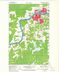
1969 · International Falls
USGS Topo · 1:24,000
1978 · International Falls
USGS Topo · 1:100,000
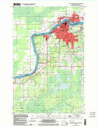
1999 · International Falls
USGS Topo · 1:24,000