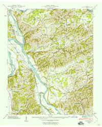
1939 Map of Rankin
USGS Topo · Published 1960About this map
The confluence of the Nolichucky River and the French Broad River dominates this 1939 Tennessee Valley Authority survey, illustrating a landscape defined by its fertile river lowlands and early transit crossings. The French Broad River Bottoms and Dutch Bottoms show a high concentration of agrarian activity, anchored by small settlements like Rankin and Bybee. Transportation history is well-preserved here, from the Solomon Ferry and Conway Bridge to the tracks of the Southern RR and the Dixie Highway skirting the western edge. Local community life is documented through numerous rural institutions, including the Atchley Mill, Slate Creek Cem, and schools such as Talley Memorial Sch and Grandview Sch. This map captures the region before the later 20th-century shifts in land use and reservoir management altered these riverine valleys.
Find a feature on this map
59 named features on this map. Tap any name to fly to it.
Don’t see what you’re looking for? This feature index may not catch every label — zoom into the map to look around manually.
Map Details
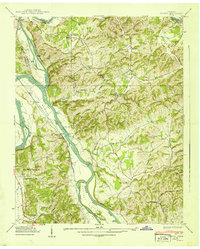
Editions of this 1939 Rankin Map
2 editions found
Other maps of this area

1883 · Morristown
USGS Topo · 1:125,000

1893 · Mt Guyot
USGS Topo · 1:125,000

1893 · Morristown
USGS Topo · 1:125,000

1895 · Morristown
USGS Topo · 1:125,000

1912 · Mt Guyot
USGS Topo · 1:125,000

1935 · Newport
USGS Topo · 1:48,000

1935 · White Pine
USGS Topo · 1:24,000

1935 · English Mountain
USGS Topo · 1:48,000

1935 · Parrottsville
USGS Topo · 1:24,000

1935 · Neddy Mountain
USGS Topo · 1:24,000