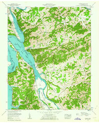
1961 Map of Rankin
USGS Topo · Published 1963About this map
French Broad Lake River and the Nolichucky River dominate this Tennessee Valley landscape, reflecting a region deeply reshaped by mid-century water management. The mapping captures the inundation patterns of Douglas Lake as it backs into the valley, creating a complex shoreline around Ramsey Mountain and the fertile Irish Bottoms. Industry and transit are marked by the presence of the Southern Railway and a specific abandoned coal tipple near Leadvale, indicating the shifting economic tides of the early 1960s.
Find a feature on this map
89 named features on this map. Tap any name to fly to it.
Don’t see what you’re looking for? This feature index may not catch every label — zoom into the map to look around manually.
Map Details
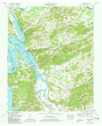
Editions of this 1961 Rankin Map
2 editions found
Other maps of this area

1883 · Morristown
USGS Topo · 1:125,000

1893 · Mt Guyot
USGS Topo · 1:125,000

1893 · Morristown
USGS Topo · 1:125,000

1895 · Morristown
USGS Topo · 1:125,000

1912 · Mt Guyot
USGS Topo · 1:125,000

1935 · Newport
USGS Topo · 1:48,000

1935 · White Pine
USGS Topo · 1:24,000

1935 · English Mountain
USGS Topo · 1:48,000

1935 · Parrottsville
USGS Topo · 1:24,000

1935 · Neddy Mountain
USGS Topo · 1:24,000