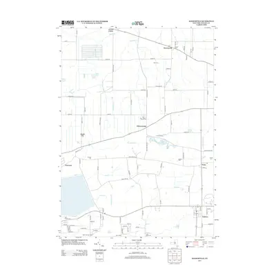
2013 Map of Ransomville
USGS Topo · Published 2013About this map
Ransomville serves as the primary hub of this Niagara County landscape, where the grid of rural farm roads meets the winding courses of Twelvemile Creek and Sixmile Cr. The map documents a blend of agricultural heritage and modern utility, from the established clusters at Dickersonville and Porter Center to the residential edges of Sanborn and Pekin. Family legacies and local history are preserved in several burial grounds, including Pioneer Cem and Saint Michaels Cem.
Find a feature on this map
90 named features on this map. Tap any name to fly to it.
Don’t see what you’re looking for? This feature index may not catch every label — zoom into the map to look around manually.
Map Details
Editions of this 2013 Ransomville Map
This is the sole edition of this map. No revisions or reprints were ever made.
Other maps of this area

1894 · Niagara Falls
USGS Topo · 1:62,500

1894 · Wilson
USGS Topo · 1:62,500

1896 · Niagara Falls
USGS Topo · 1:62,500

1897 · Tonawanda
USGS Topo · 1:62,500

1899 · Niagara
USGS Topo · 1:125,000

1900 · Wilson
USGS Topo · 1:62,500

1900 · Tonawanda
USGS Topo · 1:62,500

1900 · Niagara Falls
USGS Topo · 1:62,500

1901 · Niagara Falls
USGS Topo · 1:62,500

1901 · Tonawanda
USGS Topo · 1:62,500