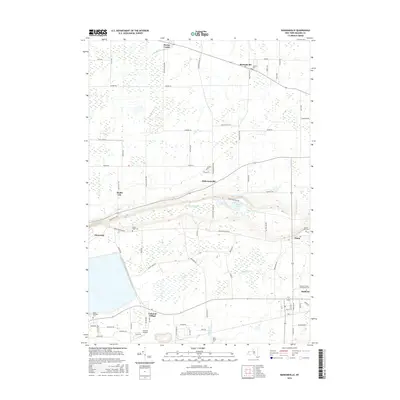
2016 Map of Ransomville
USGS Topo · Published 2016About this map
Ransomville and the surrounding hamlets of Niagara County are defined by a landscape of gradual elevation changes and several intersecting waterways. This 2016 survey shows the transition from the relatively flat lands near Porter Center and Model City to the more varied topography found south of Lower Mountain RD. The presence of several historic burial grounds, including Pioneer Cem and Mount Hope Cem, provides specific points of interest for genealogists tracing local families in the Dickersonville and Pekin areas.
Find a feature on this map
78 named features on this map. Tap any name to fly to it.
Don’t see what you’re looking for? This feature index may not catch every label — zoom into the map to look around manually.
Map Details
Editions of this 2016 Ransomville Map
This is the sole edition of this map. No revisions or reprints were ever made.
Other maps of this area

1894 · Niagara Falls
USGS Topo · 1:62,500

1894 · Wilson
USGS Topo · 1:62,500

1896 · Niagara Falls
USGS Topo · 1:62,500

1897 · Tonawanda
USGS Topo · 1:62,500

1899 · Niagara
USGS Topo · 1:125,000

1900 · Wilson
USGS Topo · 1:62,500

1900 · Tonawanda
USGS Topo · 1:62,500

1900 · Niagara Falls
USGS Topo · 1:62,500

1901 · Niagara Falls
USGS Topo · 1:62,500

1901 · Tonawanda
USGS Topo · 1:62,500