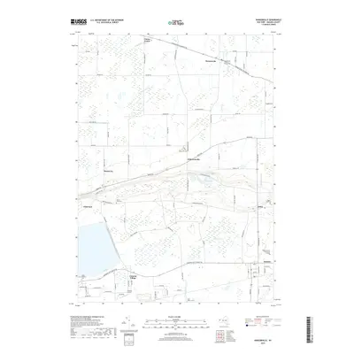
2019 Map of Ransomville
USGS Topo · Published 2019About this map
Ransomville and Dickersonville anchor the northern landscape of this Niagara County quadrangle, where the terrain transitions toward the escarpment. The map documents a significant concentration of local heritage sites, including the Curtiss Pioneer Cem near the junction of Youngstown Lockport Rd and Ransomville Rd. Further south, the specialized community of Model City and the residential area of Colonial Village sit near the Colonial Airport, illustrating the later 20th-century development patterns of the region.
Find a feature on this map
83 named features on this map. Tap any name to fly to it.
Don’t see what you’re looking for? This feature index may not catch every label — zoom into the map to look around manually.
Map Details
Editions of this 2019 Ransomville Map
This is the sole edition of this map. No revisions or reprints were ever made.
Other maps of this area

1894 · Niagara Falls
USGS Topo · 1:62,500

1894 · Wilson
USGS Topo · 1:62,500

1896 · Niagara Falls
USGS Topo · 1:62,500

1897 · Tonawanda
USGS Topo · 1:62,500

1899 · Niagara
USGS Topo · 1:125,000

1900 · Wilson
USGS Topo · 1:62,500

1900 · Tonawanda
USGS Topo · 1:62,500

1900 · Niagara Falls
USGS Topo · 1:62,500

1901 · Niagara Falls
USGS Topo · 1:62,500

1901 · Tonawanda
USGS Topo · 1:62,500