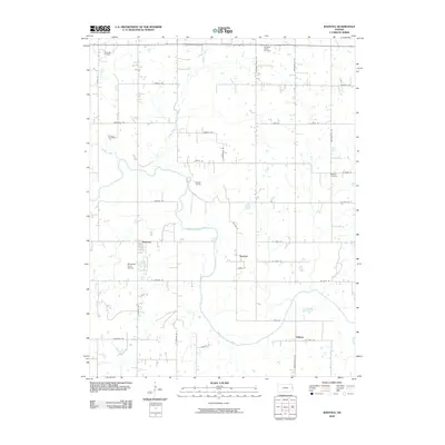
2009 Map of Rantoul
USGS Topo · Published 2009About this map
The Marais des Cygnes River meanders across this rural Kansas landscape, defining the topography of the region near Rantoul. The area is characterized by its agricultural character and energy extraction history, evidenced by the Wellsville Oil Field in the northwest and the Rantoul Oil Field centrally located. Small settlements like Stanton and O'Brien are connected by a grid of rural routes, including Vermont Rd and Pressonville Rd.
Find a feature on this map
38 named features on this map. Tap any name to fly to it.
Don’t see what you’re looking for? This feature index may not catch every label — zoom into the map to look around manually.
Map Details
Editions of this 2009 Rantoul Map
This is the sole edition of this map. No revisions or reprints were ever made.
Other maps of this area

1885 · Garnett
USGS Topo · 1:125,000

1885 · Lawrence
USGS Topo · 1:125,000

1887 · Olathe
USGS Topo · 1:125,000

1887 · Mound City
USGS Topo · 1:125,000

1889 · Lawrence
USGS Topo · 1:125,000

1893 · Mound City
USGS Topo · 1:125,000

1893 · Olathe
USGS Topo · 1:125,000

1894 · Garnett
USGS Topo · 1:125,000

1947 · Lawrence
USGS Topo · 1:250,000

1950 · Lawrence
USGS Topo · 1:250,000