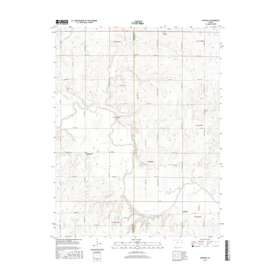
2015 Map of Rantoul
USGS Topo · Published 2015About this map
The Marais des Cygnes River carves a winding path through this corner of eastern Kansas, defining the rural character of the landscape where Franklin and Miami counties meet. Small agricultural settlements like Rantoul and Stanton serve as the primary hubs, connected by a network of gravel and paved roads including Pleasant Valley Rd and Rock Creek Rd. The geography here is one of subtle elevation changes where Hickory Cr and Turkey Cr feed into the river valley.
Find a feature on this map
48 named features on this map. Tap any name to fly to it.
Don’t see what you’re looking for? This feature index may not catch every label — zoom into the map to look around manually.
Map Details
Editions of this 2015 Rantoul Map
This is the sole edition of this map. No revisions or reprints were ever made.
Other maps of this area

1885 · Garnett
USGS Topo · 1:125,000

1885 · Lawrence
USGS Topo · 1:125,000

1887 · Olathe
USGS Topo · 1:125,000

1887 · Mound City
USGS Topo · 1:125,000

1889 · Lawrence
USGS Topo · 1:125,000

1893 · Mound City
USGS Topo · 1:125,000

1893 · Olathe
USGS Topo · 1:125,000

1894 · Garnett
USGS Topo · 1:125,000

1947 · Lawrence
USGS Topo · 1:250,000

1950 · Lawrence
USGS Topo · 1:250,000