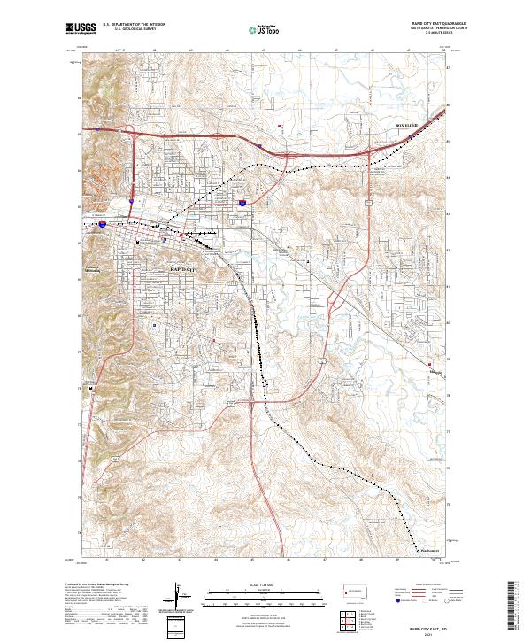
2021 Map of Rapid City East
USGS Topo · Published 2021About this map
Rapid City serves as the focal point of this detailed study of Pennington County, showcasing the eastern extent of the city and its surrounding infrastructure. The urban landscape is anchored by significant institutions like the South Dakota School of Mines and Technology and the Western Dakota Technical Institute, reflecting the region's commitment to education and specialized industry. To the northeast, the settlement of Box Elder is clearly defined, connected to the city center by a dense network of transit corridors including Disk Dr and Mall Dr.
Find a feature on this map
71 named features on this map. Tap any name to fly to it.
Don’t see what you’re looking for? This feature index may not catch every label — zoom into the map to look around manually.
Map Details
Editions of this 2021 Rapid City East Map
This is the sole edition of this map. No revisions or reprints were ever made.
Other maps of this area

1893 · Rapid
USGS Topo · 1:125,000

1894 · Hermosa
USGS Topo · 1:125,000

1898 · Rapid
USGS Topo · 1:125,000

1901 · Hermosa
USGS Topo · 1:125,000

1903 · Rapid
USGS Topo · 1:125,000

1953 · Bend
USGS Topo · 1:24,000

1953 · Boxelder
USGS Topo · 1:24,000

1953 · Hermosa NW
USGS Topo · 1:24,000

1953 · Blackhawk
USGS Topo · 1:24,000

1953 · Rapid City East
USGS Topo · 1:24,000
Featured Places
- Rapid City, SD
- Box Elder, SD
- Twilight Hills Addition, Rapid City
- Rapid Valley, SD
- Sioux Village, Rapid City