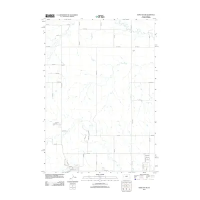
2012 Map of Rapid City NW
USGS Topo · Published 2012About this map
Boxelder Cr and Elk Cr weave across this northwestern portion of the Rapid City vicinity, defining the drainage patterns of a landscape increasingly shaped by suburban expansion. The 2012 survey reveals the transition from rural acreage to structured residential development, particularly along N Haines Ave and Elk Creek Rd. Historical continuity is represented by the Elk Vale Cem, positioned amidst the newer residential grids of the surrounding foothills.
Find a feature on this map
53 named features on this map. Tap any name to fly to it.
Don’t see what you’re looking for? This feature index may not catch every label — zoom into the map to look around manually.
Map Details
Editions of this 2012 Rapid City NW Map
This is the sole edition of this map. No revisions or reprints were ever made.
Other maps of this area

1893 · Rapid
USGS Topo · 1:125,000

1898 · Rapid
USGS Topo · 1:125,000

1903 · Rapid
USGS Topo · 1:125,000

1953 · Bend
USGS Topo · 1:24,000

1953 · Rapid City 1 SW
USGS Topo · 1:24,000

1953 · Boxelder
USGS Topo · 1:24,000

1953 · Blackhawk
USGS Topo · 1:24,000

1953 · Rapid City East
USGS Topo · 1:24,000

1953 · Rapid City NW
USGS Topo · 1:24,000

1953 · Rapid City West
USGS Topo · 1:24,000