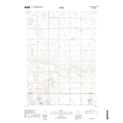
2017 Map of Rapid City NW
USGS Topo · Published 2017About this map
Ashland Heights and the northern outskirts of Rapid City anchor the southern portion of this landscape, situated along the border of Meade and Pennington counties. The terrain transitions from residential developments to the more open drainage basins of Boxelder Cr and Elk Creek. Local history is preserved at the Elk Vale Cem, while the road network reveals the area's development through thoroughfares like Co Hwy Mc-4 and the evocatively named Waggon Trail Ln.
Find a feature on this map
49 named features on this map. Tap any name to fly to it.
Don’t see what you’re looking for? This feature index may not catch every label — zoom into the map to look around manually.
Map Details
Editions of this 2017 Rapid City NW Map
This is the sole edition of this map. No revisions or reprints were ever made.
Other maps of this area

1893 · Rapid
USGS Topo · 1:125,000

1898 · Rapid
USGS Topo · 1:125,000

1903 · Rapid
USGS Topo · 1:125,000

1953 · Bend
USGS Topo · 1:24,000

1953 · Rapid City 1 SW
USGS Topo · 1:24,000

1953 · Boxelder
USGS Topo · 1:24,000

1953 · Blackhawk
USGS Topo · 1:24,000

1953 · Rapid City East
USGS Topo · 1:24,000

1953 · Rapid City NW
USGS Topo · 1:24,000

1953 · Rapid City West
USGS Topo · 1:24,000