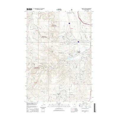
2015 Map of Rapid City West
USGS Topo · Published 2015About this map
Rapid City serves as the focal point of this 2015 survey, illustrating the modern footprint of Pennington County's urban growth into the foothills. The map documents the western edge of the city where residential developments meet the Black Hills National Forest. Significant water features like Canyon Lake and the Red Dale Gulch Reservoir are central to the landscape, alongside the winding path of Rapid Creek. Beyond the city limits, the terrain transitions into complex geological formations such as Dark Canyon, Cleghorn Canyon, and Wild Irishman Gulch. To the south, the census-designated place of Colonial Pine Hills is shown as a distinct residential community. Genealogists and local historians can locate established burial grounds including Mountain View Cem and Mount Calvary Cem, providing contemporary reference for family research in the region.
Find a feature on this map
166 named features on this map. Tap any name to fly to it.
Don’t see what you’re looking for? This feature index may not catch every label — zoom into the map to look around manually.
Map Details
Editions of this 2015 Rapid City West Map
This is the sole edition of this map. No revisions or reprints were ever made.
Other maps of this area

1893 · Rapid
USGS Topo · 1:125,000

1894 · Hermosa
USGS Topo · 1:125,000

1898 · Rapid
USGS Topo · 1:125,000

1901 · Hermosa
USGS Topo · 1:125,000

1903 · Rapid
USGS Topo · 1:125,000

1953 · Hermosa NW
USGS Topo · 1:24,000

1953 · Blackhawk
USGS Topo · 1:24,000

1953 · Rapid City East
USGS Topo · 1:24,000

1953 · Piedmont
USGS Topo · 1:24,000

1953 · Rapid City NW
USGS Topo · 1:24,000
Featured Places
- Rapid City, SD
- Clarkson Addition, SD
- Schaeferville, SD
- Broadmoor Subdivision, Rapid City
- Wildwood Addition, Rapid City