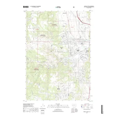
2017 Map of Rapid City West
USGS Topo · Published 2017About this map
The western edge of Rapid City meets the rising terrain of the Black Hills National Forest in this 2017 survey. The landscape is defined by the carved path of Rapid Creek, which flows through Dark Canyon and into Canyon Lake, serving as a focal point for the city's westward expansion. Military and institutional history is well-represented by the presence of Camp Rapid and NG West Camp, alongside the Saint Martin Monastery and the Gossage Memorial.
Find a feature on this map
191 named features on this map. Tap any name to fly to it.
Don’t see what you’re looking for? This feature index may not catch every label — zoom into the map to look around manually.
Map Details
Editions of this 2017 Rapid City West Map
This is the sole edition of this map. No revisions or reprints were ever made.
Other maps of this area

1893 · Rapid
USGS Topo · 1:125,000

1894 · Hermosa
USGS Topo · 1:125,000

1898 · Rapid
USGS Topo · 1:125,000

1901 · Hermosa
USGS Topo · 1:125,000

1903 · Rapid
USGS Topo · 1:125,000

1953 · Hermosa NW
USGS Topo · 1:24,000

1953 · Blackhawk
USGS Topo · 1:24,000

1953 · Rapid City East
USGS Topo · 1:24,000

1953 · Piedmont
USGS Topo · 1:24,000

1953 · Rapid City NW
USGS Topo · 1:24,000
Featured Places
- Rapid City, SD
- Clarkson Addition, SD
- Schaeferville, SD
- Broadmoor Subdivision, Rapid City
- Wildwood Addition, Rapid City