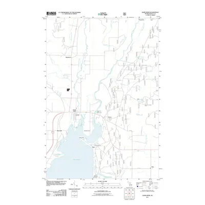
2011 Map of Rapid River
USGS Topo · Published 2011About this map
The northern reaches of Little Bay de Noc meet the mouth of the Whitefish River in this survey of Delta County's coast. The settlement of Rapid River serves as the focal point, situated where the Rapid River waterway and the Tacoosh River converge before entering the bay. This area shows a transition between shoreline communities and the dense woodland road networks of the Upper Peninsula, with long-established sites like Masonville and Garth lining the water's edge.
Find a feature on this map
34 named features on this map. Tap any name to fly to it.
Don’t see what you’re looking for? This feature index may not catch every label — zoom into the map to look around manually.
Map Details
Editions of this 2011 Rapid River Map
This is the sole edition of this map. No revisions or reprints were ever made.
Other maps of this area

1932 · Gladstone NE
USGS Topo · 1:31,680

1932 · Rapid River NE
USGS Topo · 1:31,680

1932 · Trenary SW
USGS Topo · 1:31,680

1932 · Gladstone SE
USGS Topo · 1:31,680

1932 · Rapid River NW
USGS Topo · 1:31,680

1932 · Trenary SE
USGS Topo · 1:31,680

1932 · Rock SE
USGS Topo · 1:31,680

1932 · Rapid River SE
USGS Topo · 1:31,680

1932 · Rapid River SW
USGS Topo · 1:31,680

1954 · Escanaba
USGS Topo · 1:250,000