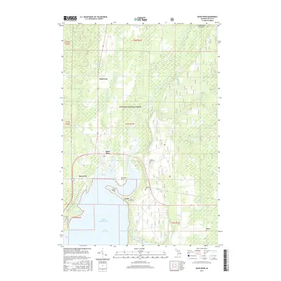
2017 Map of Rapid River
USGS Topo · Published 2017About this map
The northern reaches of Little Bay de Noc define this coastal landscape where the Whitefish River and Rapid River meet the waters of Lake Michigan. This 2017 survey documents the intersection of maritime influence and heavy timberland within the Hiawatha National Forest, showcasing a network of small settlements and riverine drainages. Local genealogists will find several burial sites of interest, including the Rapid River Cem and the more isolated McLeod Grave and Garth Point Cem. The map illustrates how human settlement is concentrated along the bay's edge at Whitefish Point and Masonville, and follows the primary roads through inland points like Maplewood and Alton. The terrain is characterized by a high density of wetlands and creek systems, such as Tacoosh River and Bills Cr, which have historically shaped the development of Delta County.
Find a feature on this map
33 named features on this map. Tap any name to fly to it.
Don’t see what you’re looking for? This feature index may not catch every label — zoom into the map to look around manually.
Map Details
Editions of this 2017 Rapid River Map
This is the sole edition of this map. No revisions or reprints were ever made.
Other maps of this area

1932 · Gladstone NE
USGS Topo · 1:31,680

1932 · Rapid River NE
USGS Topo · 1:31,680

1932 · Trenary SW
USGS Topo · 1:31,680

1932 · Gladstone SE
USGS Topo · 1:31,680

1932 · Rapid River NW
USGS Topo · 1:31,680

1932 · Trenary SE
USGS Topo · 1:31,680

1932 · Rock SE
USGS Topo · 1:31,680

1932 · Rapid River SE
USGS Topo · 1:31,680

1932 · Rapid River SW
USGS Topo · 1:31,680

1954 · Escanaba
USGS Topo · 1:250,000