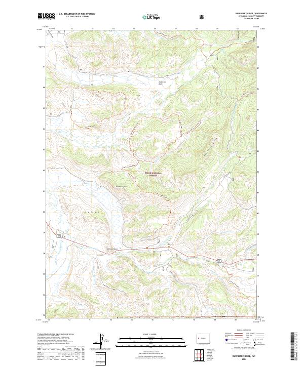
2021 Map of Raspberry Ridge
USGS Topo · Published 2021About this map
Teton National Forest dominates this high-altitude landscape in Sublette County, where complex drainage systems and ridges define the terrain. The map captures a sophisticated network of recreational trails, including the Raspberry Ridge Loop Atv Trl and the Sled Runner Creek Atv Trl, woven between prominent landmarks like Fortress Hill and the unique topographic expanse of Dry Island.
Find a feature on this map
39 named features on this map. Tap any name to fly to it.
Don’t see what you’re looking for? This feature index may not catch every label — zoom into the map to look around manually.
Map Details
Editions of this 2021 Raspberry Ridge Map
This is the sole edition of this map. No revisions or reprints were ever made.
Other maps of this area

1907 · Gros Ventre
USGS Topo · 1:125,000

1910 · Gros Ventre
USGS Topo · 1:125,000

1955 · Driggs
USGS Topo · 1:250,000

1958 · Driggs
USGS Topo · 1:250,000

1962 · Driggs
USGS Topo · 1:250,000
1966 · Pass Peak
USGS Topo · 1:24,000
1966 · Signal Hill
USGS Topo · 1:24,000
1967 · Tosi Peak
USGS Topo · 1:24,000
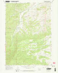
1967 · Noble Basin
USGS Topo · 1:24,000
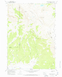
1967 · Doubletop Peak
USGS Topo · 1:24,000