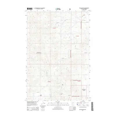
2014 Map of Ratio Mountain
USGS Topo · Published 2014About this map
Deerlodge National Forest dominates this section of Jefferson County, where the high-altitude landscape is defined by the summits of Ratio Mtn and Goodwin Mtn. The map reveals a history of resource extraction through the naming of access routes like Big Foot Mine Rd and State Mine Rd, indicating the importance of mining to this montane region. Water sources are critical in this arid high-country environment, documented here through isolated points like Roadside Spring and Wildhorse Spring, alongside the containment of Keogh Reservoir. The drainage patterns of Beaver Cr and Little Whitetail Cr provide the primary geographic structure for the surrounding forest and the open expanse of Poison Flats.
Find a feature on this map
27 named features on this map. Tap any name to fly to it.
Don’t see what you’re looking for? This feature index may not catch every label — zoom into the map to look around manually.
Map Details
Editions of this 2014 Ratio Mountain Map
This is the sole edition of this map. No revisions or reprints were ever made.
Other maps of this area

1889 · Helena
USGS Topo · 1:250,000

1893 · Helena
USGS Topo · 1:250,000

1893 · Dillon
USGS Topo · 1:250,000

1899 · Boulder
USGS Topo · 1:125,000

1899 · Helena
USGS Topo · 1:250,000

1903 · Helena
USGS Topo · 1:250,000

1947 · Butte
USGS Topo · 1:250,000

1954 · Elk Park
USGS Topo · 1:62,500

1954 · Boulder
USGS Topo · 1:62,500

1955 · Dillon
USGS Topo · 1:250,000