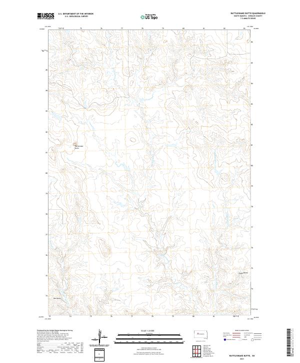
2021 Map of Rattlesnake Butte
USGS Topo · Published 2021About this map
Rattlesnake Butte stands as a prominent elevation in this western South Dakota landscape, marking the high ground between winding drainage systems. This interior portion of Ziebach County is defined by the headwaters and intricate paths of Rattlesnake Cr and its eastern branch, E Rattlesnake Cr. These ephemeral watercourses carve deep, wandering patterns through the terrain, illustrating the gradual erosion of the plains. To the south, Mud Butte and Peaked Butte provide additional topographic landmarks that have likely served as navigational points for generations.
Find a feature on this map
10 named features on this map. Tap any name to fly to it.
Don’t see what you’re looking for? This feature index may not catch every label — zoom into the map to look around manually.
Map Details
Editions of this 2021 Rattlesnake Butte Map
This is the sole edition of this map. No revisions or reprints were ever made.
Other maps of this area

1953 · McIntosh
USGS Topo · 1:250,000

1954 · Pierre
USGS Topo · 1:250,000

1958 · Pierre
USGS Topo · 1:250,000

1958 · McIntosh
USGS Topo · 1:250,000

1979 · Dupree
USGS Topo · 1:25,000

1982 · Chasing Hawk Draw
USGS Topo · 1:24,000

1982 · Bull Creek 2 NE
USGS Topo · 1:24,000

1982 · Bessie Butte
USGS Topo · 1:24,000

1982 · Red Scaffold
USGS Topo · 1:24,000

1982 · Longbrake Ranch
USGS Topo · 1:24,000