
1982 Map of Rattlesnake Canyon
USGS Topo · Published 1983About this map
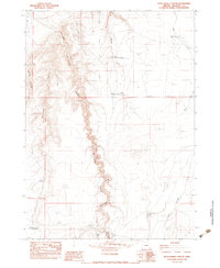
Rattlesnake Canyon cuts a deep, winding path through this high desert landscape, serving as the dominant geographic feature of this 1982 provisional survey. The map documents a remote ranching economy centered around isolated outposts such as Bowden Ranch, Battle Creek Ranch, and Peacock Ranch. Water management is clearly critical to survival here, evidenced by the numerous catchment systems like Lower Chimney Creek Reservoir, Upper Chimney Creek Reservoir, and Holding Corral Reservoir scattered across the basin. The presence of a Landing Strip and a network of Truck Trails underscores the challenges of navigating this terrain. Between the heights of Little Grassy Mountain and the seasonal basins of Peacock Dry Lake, the map traces a territory defined by aridity and the persistence of cattle ranching operations.
Find a feature on this map
29 named features on this map. Tap any name to fly to it.
Don’t see what you’re looking for? This feature index may not catch every label — zoom into the map to look around manually.
Map Details
Editions of this 1982 Rattlesnake Canyon Map
2 editions found
Other maps of this area

1955 · Jordan Valley
USGS Topo · 1:250,000

1957 · Jordan Valley
USGS Topo · 1:250,000

1958 · Jordan Valley
USGS Topo · 1:250,000

1979 · Bowden Ranch
USGS Topo · 1:24,000
1980 · Caviatta Ridge
USGS Topo · 1:24,000
1980 · Jackies Butte
USGS Topo · 1:24,000

1982 · Battle Mtn
USGS Topo · 1:24,000
1982 · Starvation Spring
USGS Topo · 1:24,000
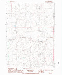
1982 · Peacock Lake
USGS Topo · 1:24,000
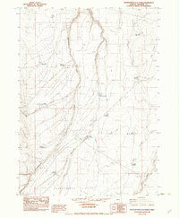
1982 · Grasshopper Flat North
USGS Topo · 1:24,000