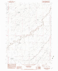
1982 Map of Starvation Spring
USGS Topo · Published 1983About this map
High-desert ranching and water management define this portion of Malheur County, recorded just before the mid-1980s. The landscape is characterized by a series of remote outposts and vital water sources, including the Lucky Seven Cow Camp and the Brown Place. These small human footprints are connected by unimproved roads and trails that traverse the drainage of Big Antelope Creek and its various tributaries.
Find a feature on this map
23 named features on this map. Tap any name to fly to it.
Don’t see what you’re looking for? This feature index may not catch every label — zoom into the map to look around manually.
Map Details
Editions of this 1982 Starvation Spring Map
This is the sole edition of this map. No revisions or reprints were ever made.
Other maps of this area

1955 · Jordan Valley
USGS Topo · 1:250,000

1957 · Jordan Valley
USGS Topo · 1:250,000

1958 · Jordan Valley
USGS Topo · 1:250,000

1982 · Rattlesnake Canyon
USGS Topo · 1:24,000
1982 · Peacock Lake
USGS Topo · 1:24,000

1982 · Guadalupe Meadows
USGS Topo · 1:24,000
1982 · Grasshopper Flat North
USGS Topo · 1:24,000
1982 · Rawhide Springs
USGS Topo · 1:24,000
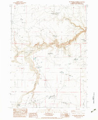
1982 · No Crossing Crossing
USGS Topo · 1:24,000
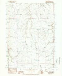
1982 · Chipmunk Basin
USGS Topo · 1:24,000