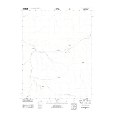
2011 Map of Rattlesnake Flat
USGS Topo · Published 2011About this map
Rattlesnake Flat lies within a high-elevation landscape of Mineral County, defined by the prominent peaks of the Excelsior Mountain and Excelsior Mountains range. This early 21st-century survey documents the continued use of the land for livestock management and remote travel, evidenced by several distinctive cattle-control structures including the West Rattlesnake Drift Fence, the Rattlesnake Garfield Drift Fence, and the Summit Spring Drift Fence. These fences, often stretching for miles across open country, illustrate the scale of rangeland operations in this part of Nevada.
Find a feature on this map
9 named features on this map. Tap any name to fly to it.
Don’t see what you’re looking for? This feature index may not catch every label — zoom into the map to look around manually.
Map Details
Editions of this 2011 Rattlesnake Flat Map
This is the sole edition of this map. No revisions or reprints were ever made.
Other maps of this area

1909 · Hawthorne
USGS Topo · 1:250,000

1911 · Hawthorne
USGS Topo · 1:250,000

1915 · Hawthorne
USGS Topo · 1:250,000

1948 · Walker Lake
USGS Topo · 1:250,000

1955 · Powell Mtn
USGS Topo · 1:62,500

1957 · Walker Lake
USGS Topo · 1:250,000

1958 · Huntoon Valley
USGS Topo · 1:62,500

1962 · Walker Lake
USGS Topo · 1:250,000

1964 · Walker Lake
USGS Topo · 1:250,000

1967 · Pamlico
USGS Topo · 1:24,000