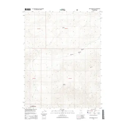
2014 Map of Rattlesnake Flat
USGS Topo · Published 2014About this map
Toiyabe National Forest encompasses the southern portion of this desert terrain, where the high ridges of the Excelsior Mountains and Excelsior Mtn dominate the landscape. This 2014 survey captures a sparsely populated region of Mineral County defined by significant topographic shifts between the peaks and the broad, dry expanse of Rattlesnake Flat. The cartography details a primitive road network, including Nf-200, which provides the primary access through the basin.
Find a feature on this map
13 named features on this map. Tap any name to fly to it.
Don’t see what you’re looking for? This feature index may not catch every label — zoom into the map to look around manually.
Map Details
Editions of this 2014 Rattlesnake Flat Map
This is the sole edition of this map. No revisions or reprints were ever made.
Other maps of this area

1909 · Hawthorne
USGS Topo · 1:250,000

1911 · Hawthorne
USGS Topo · 1:250,000

1915 · Hawthorne
USGS Topo · 1:250,000

1948 · Walker Lake
USGS Topo · 1:250,000

1955 · Powell Mtn
USGS Topo · 1:62,500

1957 · Walker Lake
USGS Topo · 1:250,000

1958 · Huntoon Valley
USGS Topo · 1:62,500

1962 · Walker Lake
USGS Topo · 1:250,000

1964 · Walker Lake
USGS Topo · 1:250,000

1967 · Pamlico
USGS Topo · 1:24,000