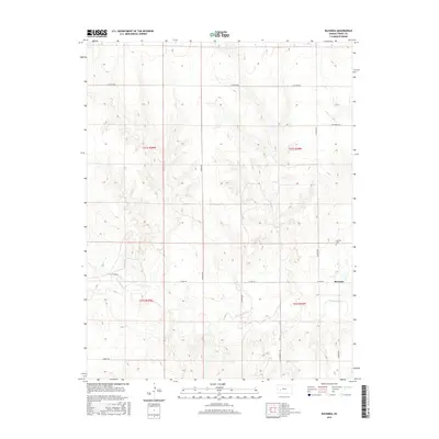
2015 Map of Ravanna
USGS Topo · Published 2015About this map
The Ravanna settlement area in Finney County is defined by its placement along the high plains, where the winding course of the Pawnee River cuts through the southern half of the landscape. The river's path dictates the local topography, creating a distinct drainage pattern amidst the surrounding section-line grid. This grid is marked by a network of rural routes including E Boots Rd and N Boone Rd, which frame the agricultural and ranching parcels of the region. Local history and genealogy interest is anchored by the Garfield Cem, located north of the primary townsite. The layout of the roads, such as N Ravana Rd and E Guy Reed Rd, illustrates the enduring structure of the Kansas Public Land Survey System, showing how transportation and property boundaries have been maintained into the modern era.
Find a feature on this map
15 named features on this map. Tap any name to fly to it.
Don’t see what you’re looking for? This feature index may not catch every label — zoom into the map to look around manually.
Map Details
Editions of this 2015 Ravanna Map
This is the sole edition of this map. No revisions or reprints were ever made.
Other maps of this area

1955 · Scott City
USGS Topo · 1:250,000

1958 · Scott City
USGS Topo · 1:250,000

1974 · Ravanna
USGS Topo · 1:24,000
1974 · Kalvesta
USGS Topo · 1:24,000
1974 · Scott City 4 SE
USGS Topo · 1:24,000

1974 · Dighton SW
USGS Topo · 1:24,000

1974 · Amy SE
USGS Topo · 1:24,000

1974 · Scott City 4 NE
USGS Topo · 1:24,000

1974 · Hay Canyon
USGS Topo · 1:24,000

1974 · Dighton SE
USGS Topo · 1:24,000