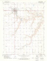
1974 Map of Dighton SE
USGS Topo · Published 1976About this map
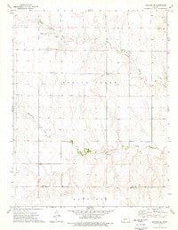
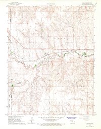
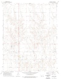
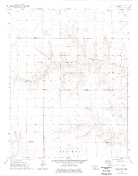
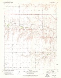
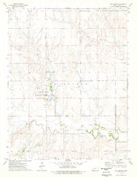
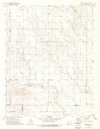
Spring Creek and Hackberry Creek carve a distinctive drainage pattern across this western Kansas landscape, where the high plains meet the intricate breaks of the Smoky Hill River watershed. In the mid-1970s, the area remained a strictly rural expanse defined by agricultural section lines and localized extraction at several Caliche Pits. The map documents the boundary between Lane Co and Finney Co, providing a clear record of the political geography south of Dighton. For genealogists, the inclusion of Thomas Cem and several named fords along the creek beds offers precise coordinates for family research in this sparsely settled region. The presence of these small family or community landmarks, alongside the broader terrain of Garfield, reflects the enduring rural character of the High Plains before modern irrigation and land use changes further altered the prairie surface.
Find a feature on this map
8 named features on this map. Tap any name to fly to it.
Don’t see what you’re looking for? This feature index may not catch every label — zoom into the map to look around manually.
Map Details
Editions of this 1974 Dighton SE Map
This is the sole edition of this map. No revisions or reprints were ever made.
Other maps of this area

1955 · Scott City
USGS Topo · 1:250,000

1958 · Scott City
USGS Topo · 1:250,000
1965 · Beeler
USGS Topo · 1:24,000
1974 · Ravanna
USGS Topo · 1:24,000
1974 · Dighton SW
USGS Topo · 1:24,000
1974 · Dighton
USGS Topo · 1:24,000
1974 · Alamota
USGS Topo · 1:24,000
1974 · Hay Canyon
USGS Topo · 1:24,000
1974 · Beeler SW
USGS Topo · 1:24,000

1974 · Horse Thief Canyon NW
USGS Topo · 1:24,000