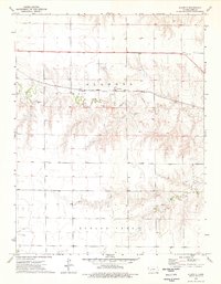
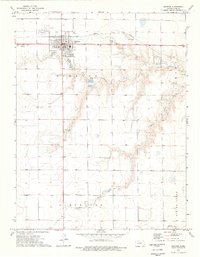
1974 Map of Alamota
USGS Topo · Published 1976About this map
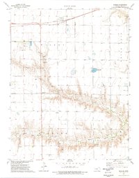
The Atchison Topeka and Santa Fe railroad corridor anchors this survey of central Lane County, Kansas. The settlement of Alamota sits along these tracks, serving as a focal point for the surrounding agricultural plains. The landscape is defined by the drainage systems of the South Fork Walnut Creek and Darr Creek, which reveal the area's geological composition through several Caliche Pits and Gravel Pits concentrated near the watercourses. Local infrastructure is sparse but notable, featuring a Radio Tower and an Oil Well indicating the regional energy and communication network. For genealogists and local historians, a small Cem is located in the southern portion of the quadrangle near Spring Creek, providing a primary point of interest for family history research in this rural high plains environment.
Find a feature on this map
16 named features on this map. Tap any name to fly to it.
Don’t see what you’re looking for? This feature index may not catch every label — zoom into the map to look around manually.
Map Details
Editions of this 1974 Alamota Map
This is the sole edition of this map. No revisions or reprints were ever made.
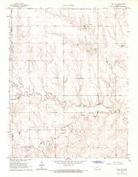
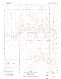
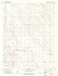
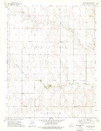
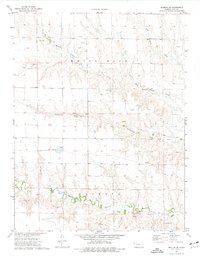
Other maps of this area

1955 · Scott City
USGS Topo · 1:250,000

1958 · Scott City
USGS Topo · 1:250,000
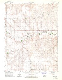
1965 · Beeler
USGS Topo · 1:24,000
1965 · Utica SW
USGS Topo · 1:24,000
1974 · Dighton SW
USGS Topo · 1:24,000
1974 · Dighton
USGS Topo · 1:24,000
1974 · Beeler SW
USGS Topo · 1:24,000
1974 · Dighton SE
USGS Topo · 1:24,000
1974 · Shields SE
USGS Topo · 1:24,000
1974 · Shields
USGS Topo · 1:24,000