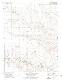
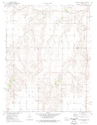
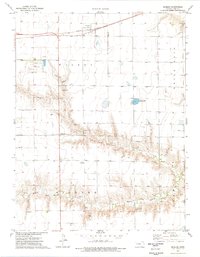
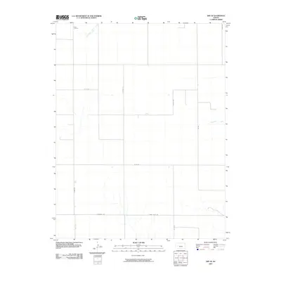
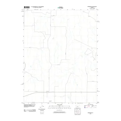
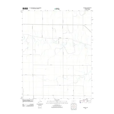
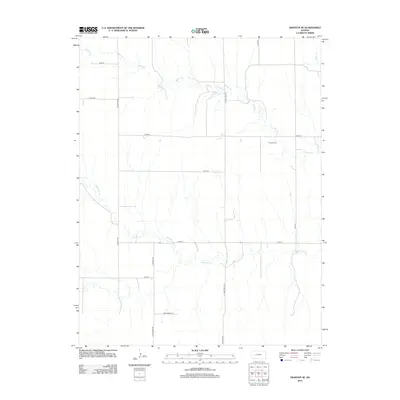
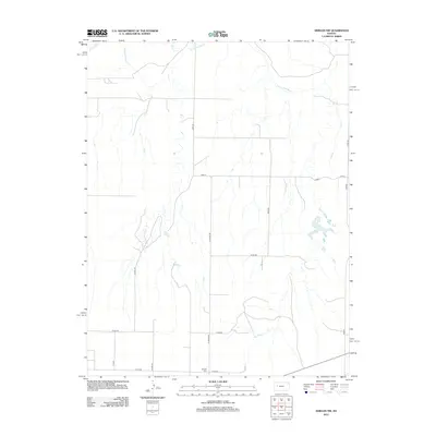
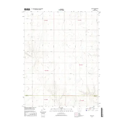
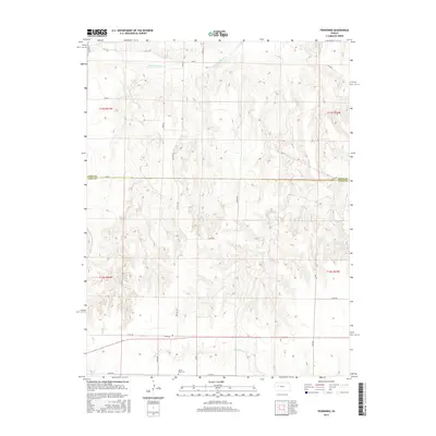
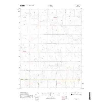
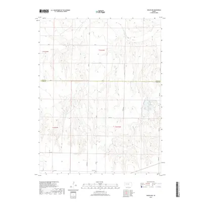
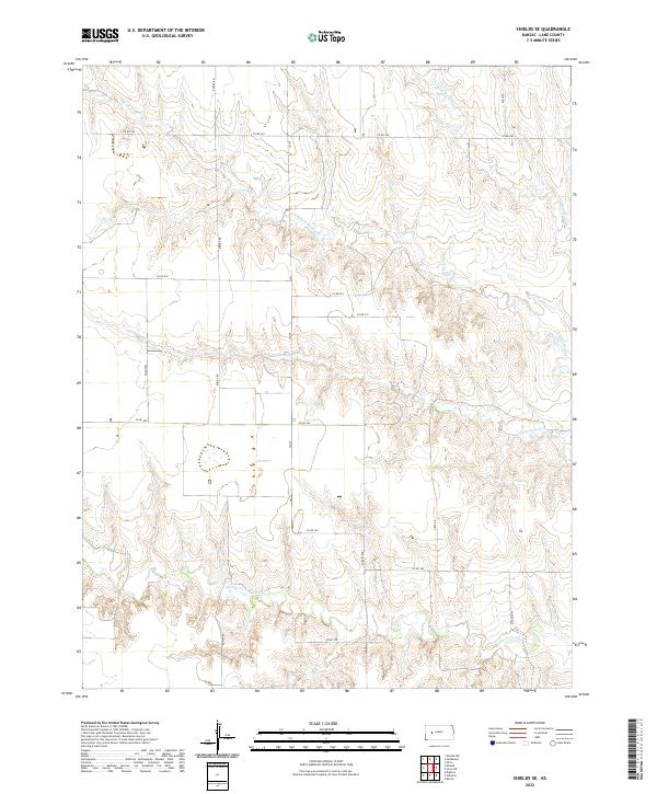
1974 Map of Shields SE
USGS Topo · Published 1977About this map
North Fork Walnut Creek and Middle Fork Walnut Creek converge in this western Kansas landscape, which reflects a mid-1970s balance between traditional ranching and the encroaching industrial footprint of the energy sector. Evidence of resource extraction is visible throughout the terrain, including numerous Oil Wells and a designated Oil Field, often connected by a major Pipeline that traverses the central plains. Smaller-scale industrial activity is marked by scattered Caliche Pits and Sandpits, likely used for local road maintenance and construction.
Find a feature on this map
14 named features on this map. Tap any name to fly to it.
Don’t see what you’re looking for? This feature index may not catch every label — zoom into the map to look around manually.
Map Details
Editions of this 1974 Shields SE Map
This is the sole edition of this map. No revisions or reprints were ever made.
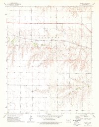
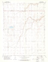
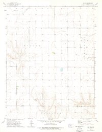
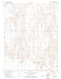
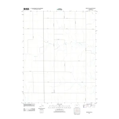
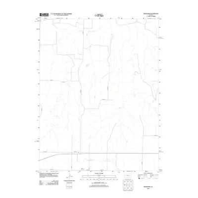
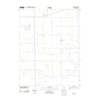
Historical Maps of Lane County Through Time
60 maps found
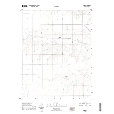
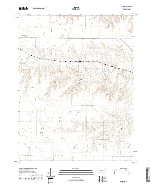
1974 Alamota
Lane County, KS
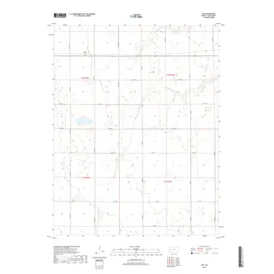
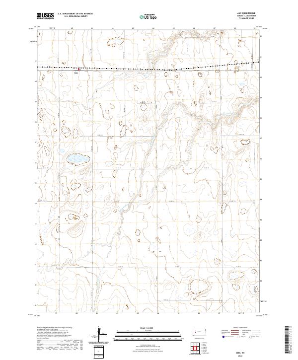
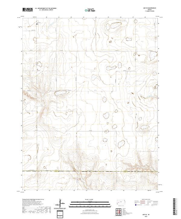
1974 Amy
Lane County, KS
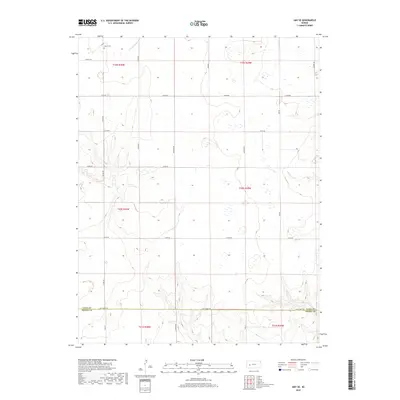
1974 Amy SE
Lane County, KS
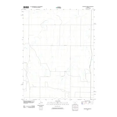
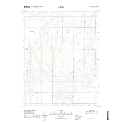
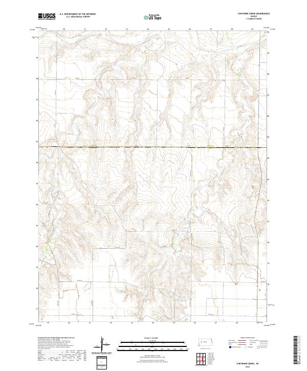
1974 Cheyenne Creek
Lane County, KS
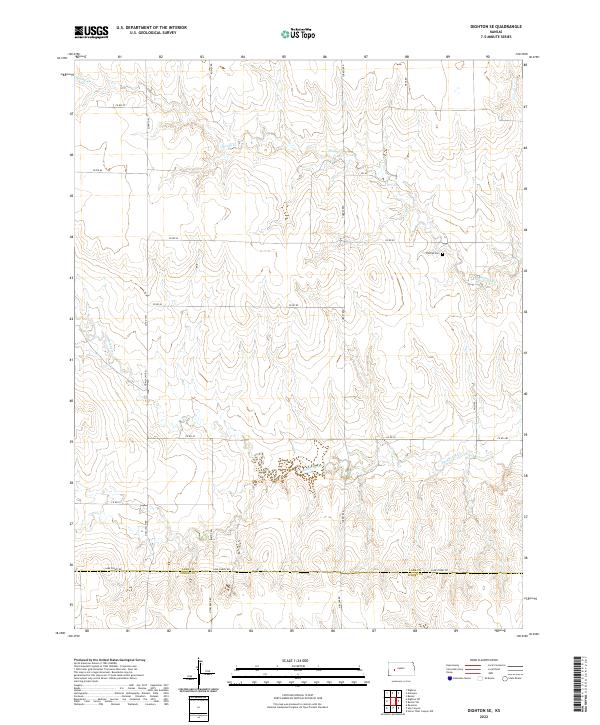
1974 Dighton SE
Lane County, KS
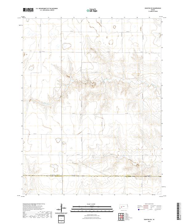
1974 Dighton SW
Lane County, KS
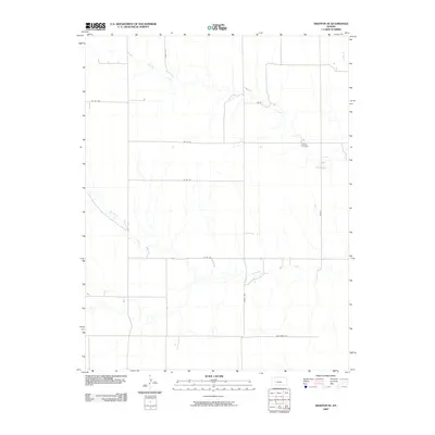
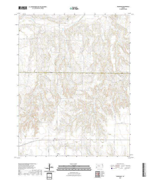
1974 Pendennis
Lane County, KS
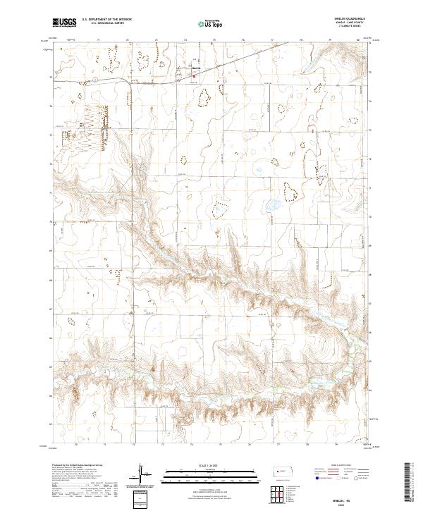
1974 Shields
Lane County, KS
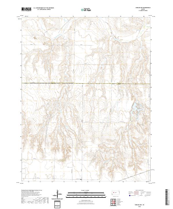
1974 Shields NW
Lane County, KS
1974 Shields SE
Lane County, KS
2009 Alamota
Lane County, KS
2009 Amy
Lane County, KS
2009 Amy SE
Lane County, KS
2009 Cheyenne Creek
Lane County, KS
2009 Dighton SE
Lane County, KS
2009 Dighton SW
Lane County, KS
2009 Pendennis
Lane County, KS
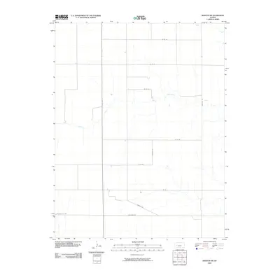
2009 Shields
Lane County, KS
2009 Shields NW
Lane County, KS
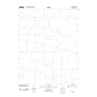
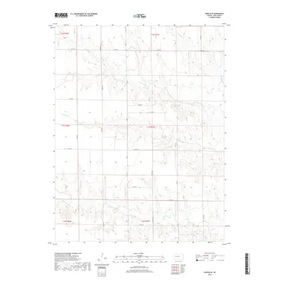
2010 Shields SE
Lane County, KS
2012 Alamota
Lane County, KS
2012 Amy
Lane County, KS
2012 Amy SE
Lane County, KS
2012 Cheyenne Creek
Lane County, KS
2012 Dighton SE
Lane County, KS
2012 Dighton SW
Lane County, KS
2012 Pendennis
Lane County, KS
2012 Shields
Lane County, KS
2012 Shields NW
Lane County, KS
2012 Shields SE
Lane County, KS
2015 Alamota
Lane County, KS
2015 Amy
Lane County, KS
2015 Amy SE
Lane County, KS
2015 Cheyenne Creek
Lane County, KS
2015 Dighton SE
Lane County, KS
2015 Dighton SW
Lane County, KS
2015 Pendennis
Lane County, KS
2015 Shields
Lane County, KS
2015 Shields NW
Lane County, KS
2015 Shields SE
Lane County, KS
2018 Alamota
Lane County, KS
2018 Amy
Lane County, KS
2018 Amy SE
Lane County, KS
2018 Cheyenne Creek
Lane County, KS
2018 Dighton SE
Lane County, KS
2018 Dighton SW
Lane County, KS
2018 Pendennis
Lane County, KS
2018 Shields
Lane County, KS
2018 Shields NW
Lane County, KS
2018 Shields SE
Lane County, KS
2022 Alamota
Lane County, KS
2022 Amy
Lane County, KS
2022 Amy SE
Lane County, KS
2022 Cheyenne Creek
Lane County, KS
2022 Dighton SE
Lane County, KS
2022 Dighton SW
Lane County, KS
2022 Pendennis
Lane County, KS
2022 Shields
Lane County, KS
2022 Shields NW
Lane County, KS
2022 Shields SE
Lane County, KS