
1974 Map of Pendennis
USGS Topo · Published 1977About this map
Pendennis occupies a small station point along the Missouri Pacific railroad in the mid-1970s, marking a intersection of agriculture and industry in western Kansas. The landscape is divided by the townships of Larrabee and White Rock, where the northern half is defined by the winding course of the Smoky Hill River and its associated Sandpits.
Find a feature on this map
12 named features on this map. Tap any name to fly to it.
Don’t see what you’re looking for? This feature index may not catch every label — zoom into the map to look around manually.
Map Details
Editions of this 1974 Pendennis Map
This is the sole edition of this map. No revisions or reprints were ever made.
Other maps of this area

1955 · Scott City
USGS Topo · 1:250,000

1958 · Scott City
USGS Topo · 1:250,000

1965 · Utica SW
USGS Topo · 1:24,000

1974 · Gove SW
USGS Topo · 1:24,000

1974 · Gove SE
USGS Topo · 1:24,000

1974 · Castle Rock
USGS Topo · 1:24,000

1974 · Shields NW
USGS Topo · 1:24,000

1974 · Shields SE
USGS Topo · 1:24,000
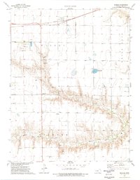
1974 · Shields
USGS Topo · 1:24,000
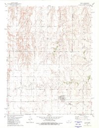
1981 · Utica
USGS Topo · 1:24,000