
1974 Map of Castle Rock
USGS Topo · Published 1976About this map
Butterfield Overland Trail fragments stretch across this section of Gove County, marking a nineteenth-century stagecoach route that once connected the central United States to California. The landscape is defined by the carved limestone pillars of Castle Rock, a prominent natural landmark that served as a navigational beacon for travelers and early explorers. This mid-1970s survey illustrates the rural character of western Kansas, where the Smoky Hill River and Hackberry Cr provide the primary drainage through the high plains.
Find a feature on this map
15 named features on this map. Tap any name to fly to it.
Don’t see what you’re looking for? This feature index may not catch every label — zoom into the map to look around manually.
Map Details
Editions of this 1974 Castle Rock Map
This is the sole edition of this map. No revisions or reprints were ever made.
Other maps of this area

1955 · Scott City
USGS Topo · 1:250,000

1958 · Scott City
USGS Topo · 1:250,000

1972 · Gove NE
USGS Topo · 1:24,000

1972 · Castle Rock NW
USGS Topo · 1:24,000
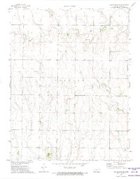
1972 · Castle Rock NE
USGS Topo · 1:24,000

1974 · Gove SE
USGS Topo · 1:24,000
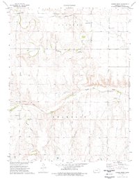
1974 · Gibson Creek
USGS Topo · 1:24,000

1974 · Pendennis
USGS Topo · 1:24,000
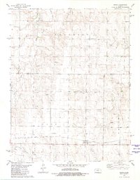
1981 · Arnold
USGS Topo · 1:24,000
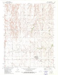
1981 · Utica
USGS Topo · 1:24,000