
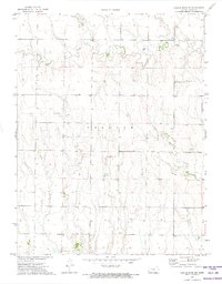
1972 Map of Castle Rock NW
USGS Topo · Published 1974About this map
The Butterfield Overland Trail (Approx Location) cuts through the southern portion of this landscape, marking a historical corridor of westward expansion across the Kansas plains. This early 1970s survey documents a rural environment where land use is defined by scattered resource extraction and local landmarks. The border between Gove Co and Trego Co bisects the terrain, which is drained by the meandering courses of Big Creek to the north and Hackberry Creek to the south. Small-scale industrial activity is evidenced by several Gravel Pit and Well sites distributed among the sections. Local heritage is preserved at the Red Top Cem and a designated Historical Marker near the trail's path, providing essential points of reference for genealogists and local historians studying the townships of Baker and Collyer.
Find a feature on this map
10 named features on this map. Tap any name to fly to it.
Don’t see what you’re looking for? This feature index may not catch every label — zoom into the map to look around manually.
Map Details
Editions of this 1972 Castle Rock NW Map
This is the sole edition of this map. No revisions or reprints were ever made.
Other maps of this area

1954 · Goodland
USGS Topo · 1:250,000

1955 · Scott City
USGS Topo · 1:250,000

1956 · Goodland
USGS Topo · 1:250,000

1957 · Goodland
USGS Topo · 1:250,000

1958 · Scott City
USGS Topo · 1:250,000

1972 · Gove NE
USGS Topo · 1:24,000
1972 · Castle Rock NE
USGS Topo · 1:24,000

1974 · Gove SE
USGS Topo · 1:24,000

1974 · Castle Rock
USGS Topo · 1:24,000
1974 · Gibson Creek
USGS Topo · 1:24,000