
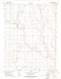
1974 Map of Shields NW
USGS Topo · Published 1977About this map
The Smoky Hill River meanders across the northern reaches of this High Plains landscape, defining a wide valley marked by numerous Sandpits and seasonal drainage through Plum Cr. Along the southern boundary, the Missouri Pacific railroad corridor cuts a straight line through the prairie, just north of the Shields Cem. This 1974 field-checked survey highlights a region defined by its geological resources and early industrial activity, including scattered Caliche Pits and subsurface exploration marked by a prominent Oil Well and several Drill Hole locations. The terrain is notably etched by a large Canyon and the White Rock formation, while the northern border between Gove Co and Lane Co follows the natural ridges and depressions of the western Kansas plains.
Find a feature on this map
15 named features on this map. Tap any name to fly to it.
Don’t see what you’re looking for? This feature index may not catch every label — zoom into the map to look around manually.
Map Details
Editions of this 1974 Shields NW Map
This is the sole edition of this map. No revisions or reprints were ever made.
Other maps of this area

1955 · Scott City
USGS Topo · 1:250,000

1958 · Scott City
USGS Topo · 1:250,000

1974 · Cheyenne Creek
USGS Topo · 1:24,000

1974 · Gove SW
USGS Topo · 1:24,000

1974 · Gove SE
USGS Topo · 1:24,000
1974 · Orion SE
USGS Topo · 1:24,000

1974 · Pendennis
USGS Topo · 1:24,000

1974 · Healy
USGS Topo · 1:24,000

1974 · Shields SE
USGS Topo · 1:24,000
1974 · Shields
USGS Topo · 1:24,000