
1974 Map of Cheyenne Creek
USGS Topo · Published 1976About this map
The Butterfield Overland Trail cuts across the northern reaches of this landscape, marking a historic corridor of western transit just south of the Smoky Hill River. This 1970s survey captures a rural portion of the Gove and Lane County line, where the terrain is defined by a dense network of drainage systems. Watercourses like Cheyenne Creek, Salt Creek, and East Salt Creek have carved deep relief into the High Plains, creating a complex series of draws and ridges. The economy of the era is evident in the numerous resource extraction sites scattered throughout the townships, including several Caliche Pits and Sandpits. While the surface remains largely undeveloped, the presence of various Oil Wells, Drill Holes, and a lone Radio Tower reflects the mid-century industrial footprint on this western Kansas prairie.
Find a feature on this map
19 named features on this map. Tap any name to fly to it.
Don’t see what you’re looking for? This feature index may not catch every label — zoom into the map to look around manually.
Map Details
Editions of this 1974 Cheyenne Creek Map
This is the sole edition of this map. No revisions or reprints were ever made.
Other maps of this area

1955 · Scott City
USGS Topo · 1:250,000

1958 · Scott City
USGS Topo · 1:250,000

1974 · Gove SW
USGS Topo · 1:24,000
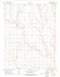
1974 · Orion SE
USGS Topo · 1:24,000

1974 · Healy NW
USGS Topo · 1:24,000

1974 · Shields NW
USGS Topo · 1:24,000

1974 · Manning
USGS Topo · 1:24,000

1974 · Healy
USGS Topo · 1:24,000
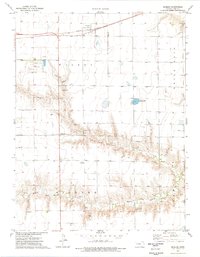
1974 · Shields
USGS Topo · 1:24,000
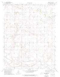
1974 · Orion SW
USGS Topo · 1:24,000