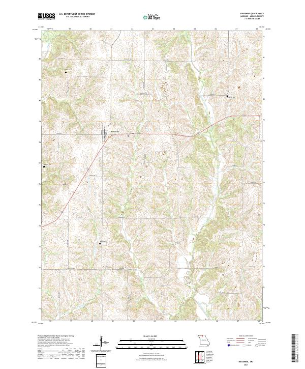
2021 Map of Ravanna
USGS Topo · Published 2021About this map
Ravanna sits at the heart of this North Missouri landscape, where the agricultural grid is etched into the undulating terrain of Mercer County. The settlement pattern is defined by a dense network of local roads such as Co Rd AA and Edward Ave, which weave between several family and community burial grounds that anchor the local history. These include the centrally located Ravanna Cem, along with Duree Cem, Anderson Cem, Weesner Cem, and Swan Cem, providing a clear map for genealogical researchers tracking early residents.
Find a feature on this map
36 named features on this map. Tap any name to fly to it.
Don’t see what you’re looking for? This feature index may not catch every label — zoom into the map to look around manually.
Map Details
Editions of this 2021 Ravanna Map
This is the sole edition of this map. No revisions or reprints were ever made.
Other maps of this area

1946 · Princeton
USGS Topo · 1:62,500

1948 · Princeton
USGS Topo · 1:62,500

1954 · Centerville
USGS Topo · 1:250,000

1957 · Centerville
USGS Topo · 1:250,000

1958 · Centerville
USGS Topo · 1:250,000

1964 · Ravanna
USGS Topo · 1:24,000

1964 · Harris
USGS Topo · 1:24,000

1964 · Half Rock
USGS Topo · 1:24,000

1964 · Lucerne
USGS Topo · 1:24,000

1964 · Cleopatra
USGS Topo · 1:24,000