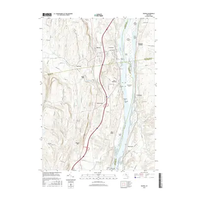
2016 Map of Ravena
USGS Topo · Published 2016About this map
The Hudson River corridor serves as the primary artery for this mid-2010s landscape, where the convergence of four counties—Albany, Greene, Rensselaer, and Columbia—creates a complex network of jurisdiction and community. Riverfront settlements such as Schodack Landing and Stuyvesant sit opposite the islands and bars that define the river's navigation, including Houghtaling Island and Barren Island. The western uplands are marked by the agricultural and residential clusters of Ravena and Coeymans, where CSX Transportation rail lines parallel the waterway.
Find a feature on this map
127 named features on this map. Tap any name to fly to it.
Don’t see what you’re looking for? This feature index may not catch every label — zoom into the map to look around manually.
Map Details
Editions of this 2016 Ravena Map
This is the sole edition of this map. No revisions or reprints were ever made.
Other maps of this area

1893 · Troy
USGS Topo · 1:62,500

1893 · Coxsackie
USGS Topo · 1:62,500

1893 · Albany
USGS Topo · 1:62,500

1894 · Coxsackie
USGS Topo · 1:62,500

1895 · Troy
USGS Topo · 1:62,500

1895 · Albany
USGS Topo · 1:62,500

1898 · Albany
USGS Topo · 1:62,500

1898 · Troy
USGS Topo · 1:62,500

1903 · Kinderhook
USGS Topo · 1:62,500

1925 · Troy
USGS Topo · 1:48,000