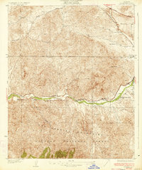
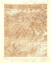
1934 Map of Ravenna
USGS Topo · Published 1934About this map
Soledad Canyon serves as the primary corridor for transportation and settlement in this portion of the San Gabriel Mountains during the early 1930s. The Southern Pacific railroad tracks and the Sierra Highway parallel the canyon floor, connecting a series of family-owned ranching operations such as Nelson Ranch, Hyre Ranch, and McCarthy Ranch. This geographic alignment highlights the importance of the canyon pass for moving goods and people between the Los Angeles basin and the high desert. The small community of Ravenna and the nearby Ravenna Poultry Farm anchor the eastern half of the canyon, while the Acton Sch provides an essential landmark for the surrounding rural population. Much of the southern landscape is occupied by the protected lands of the Angeles National Forest, rising steeply from the valley floor toward rugged peaks like Parker Mtn.
Find a feature on this map
15 named features on this map. Tap any name to fly to it.
Don’t see what you’re looking for? This feature index may not catch every label — zoom into the map to look around manually.
Map Details
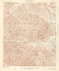
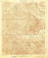
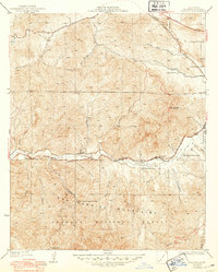
Editions of this 1934 Ravenna Map
4 editions found
Other maps of this area

1900 · Tujunga
USGS Topo · 1:62,500

1900 · Fernando
USGS Topo · 1:62,500

1901 · Southern California Sheet No. 1
USGS Topo · 1:250,000

1904 · Southern California Sheet No. 1
USGS Topo · 1:250,000

1915 · Elizabeth Lake
USGS Topo · 1:125,000

1917 · Elizabeth Lake
USGS Topo · 1:125,000

1929 · Lang
USGS Topo · 1:24,000

1930 · Ravenna
USGS Topo · 1:24,000

1932 · Red Rover
USGS Topo · 1:24,000
1932 · Mint Canyon
USGS Topo · 1:24,000