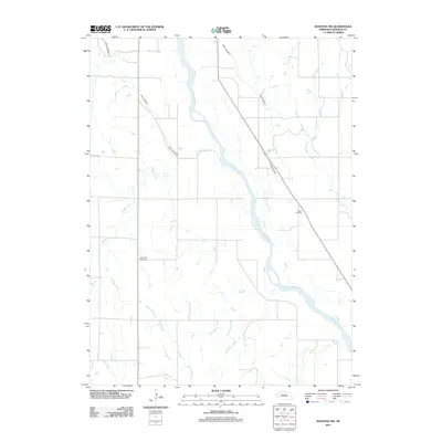
2011 Map of Ravenna NW
USGS Topo · Published 2011About this map
The Middle Loup River winds through the heart of Sherman County, shaping a landscape defined by its irrigation infrastructure and agricultural roots. This 2011 survey highlights the engineered waterways crucial to the region, including Canal Number 3 and Canal Number 4, which cross the terrain to manage the prairie’s water resources. These canals run alongside natural drainages like Wiggle Creek and Brown Creek, illustrating the intersection of natural hydrology and human management.
Find a feature on this map
11 named features on this map. Tap any name to fly to it.
Don’t see what you’re looking for? This feature index may not catch every label — zoom into the map to look around manually.
Map Details
Editions of this 2011 Ravenna NW Map
This is the sole edition of this map. No revisions or reprints were ever made.
Other maps of this area

1899 · Loup
USGS Topo · 1:125,000

1951 · Arcadia SE
USGS Topo · 1:24,000

1951 · Litchfield NE
USGS Topo · 1:24,000

1951 · Hazard
USGS Topo · 1:24,000

1953 · Rockville
USGS Topo · 1:24,000

1953 · Ravenna NW
USGS Topo · 1:24,000

1953 · Loup City SE
USGS Topo · 1:24,000

1953 · Loup City
USGS Topo · 1:24,000

1953 · Ashton
USGS Topo · 1:24,000

1953 · Ravenna
USGS Topo · 1:24,000