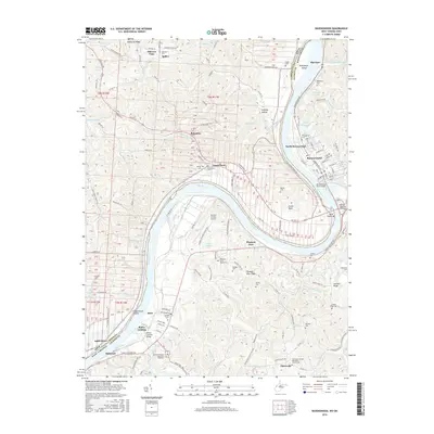
2016 Map of Ravenswood
USGS Topo · Published 2016About this map
The Ohio River forms a massive oxbow at Great Bend, anchoring this survey of Jackson County, West Virginia, and Meigs County, Ohio. The riverfront activity centers on Ravenswood and North Ravenswood, where the terrain transitions from the low-lying Oldtown Flats to the elevations of McKenzie Ridge. Genealogists will find a wealth of burial grounds across the valley, from the Ravenswood Cem near Sandy Creek to more isolated sites like Ottobine Cem and Barley Cem.
Find a feature on this map
157 named features on this map. Tap any name to fly to it.
Don’t see what you’re looking for? This feature index may not catch every label — zoom into the map to look around manually.
Map Details
Editions of this 2016 Ravenswood Map
This is the sole edition of this map. No revisions or reprints were ever made.
Other maps of this area

1906 · Belleville
USGS Topo · 1:62,500

1907 · Keno
USGS Topo · 1:62,500

1907 · Ripley
USGS Topo · 1:62,500

1908 · Ravenswood
USGS Topo · 1:62,500

1924 · Belleville
USGS Topo · 1:62,500

1926 · Ravenswood
USGS Topo · 1:62,500

1926 · Belleville
USGS Topo · 1:62,500

1926 · Ripley
USGS Topo · 1:62,500

1928 · Ravenswood
USGS Topo · 1:62,500

1928 · Ripley
USGS Topo · 1:62,500