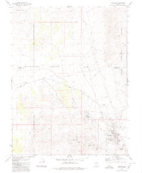
1980 Map of Rawhide
USGS Topo · Published 1980About this map
Rawhide sits at the heart of this desert landscape, surrounded by the remnants of a once-active mining district at the southern end of the Sand Springs Range. The 1980 survey reveals the complex history of the area through labels like the National Mill (Ruins) and the Regent (Site), indicating the transient nature of boom-and-bust settlements in Mineral County. An Old Railroad Grade cuts across the terrain, marking the former transportation network that once serviced these remote operations.
Find a feature on this map
27 named features on this map. Tap any name to fly to it.
Don’t see what you’re looking for? This feature index may not catch every label — zoom into the map to look around manually.
Map Details
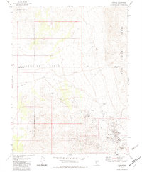
Editions of this 1980 Rawhide Map
2 editions found
Other maps of this area

1908 · Carson Sink
USGS Topo · 1:250,000

1909 · Hawthorne
USGS Topo · 1:250,000

1910 · Carson Sink
USGS Topo · 1:250,000

1911 · Hawthorne
USGS Topo · 1:250,000

1915 · Hawthorne
USGS Topo · 1:250,000

1948 · Walker Lake
USGS Topo · 1:250,000

1951 · Allen Springs
USGS Topo · 1:62,500

1957 · Walker Lake
USGS Topo · 1:250,000

1957 · Reno
USGS Topo · 1:250,000

1959 · Reno
USGS Topo · 1:250,000