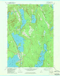
1981 Map of Raymond
USGS Topo · Published 1984About this map
Crescent Lake and Panther Pond dominate this portion of the Maine lakes region, where the Tenny River connects the two larger bodies of water. The topography is defined by prominent peaks like Pismire Mtn and Rattlesnake Mtn, which frame the settled areas of Raymond and North Raymond. Local history and genealogy are anchored by several community sites, including the North Raymond Cem and Riverside Cem, alongside educational and religious landmarks such as the Jordan-Small Sch and the Union Chapel.
Find a feature on this map
88 named features on this map. Tap any name to fly to it.
Don’t see what you’re looking for? This feature index may not catch every label — zoom into the map to look around manually.
Map Details
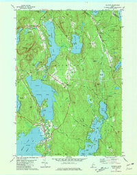
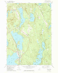
Editions of this 1981 Raymond Map
3 editions found
Other maps of this area

1894 · Gray
USGS Topo · 1:62,500

1896 · Norway
USGS Topo · 1:62,500

1896 · Sebago
USGS Topo · 1:62,500

1898 · Gray
USGS Topo · 1:62,500

1908 · Poland
USGS Topo · 1:62,500

1940 · Poland
USGS Topo · 1:62,500

1942 · Poland
USGS Topo · 1:62,500

1942 · Gray
USGS Topo · 1:62,500

1942 · Sebago Lake
USGS Topo · 1:62,500

1943 · Sebago Lake
USGS Topo · 1:62,500