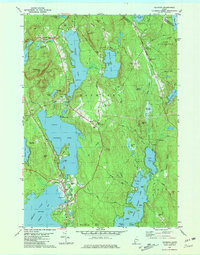
1981 Map of Raymond
USGS Topo · Published 1981About this map
Sebago Lake and Panther Pond dominate this landscape, defining the character of the Lakes Region during the early 1980s. The settlement of Raymond serves as a focal point between the waterfront and the interior hills, such as Rattlesnake Mtn and Raymond Hill. The area shows a transition from historical agricultural roots to seasonal recreation, evidenced by the Hinds Boy Scout Camp and various lakeside Campground sites. Genealogists will find significant value in the documentation of the North Raymond Cem and Riverside Cem, alongside community landmarks like St Raymonds Ch and the Jordan-Small Sch. The hydrography is particularly detailed, tracing the Tenny River and Panther Run as they connect these major water bodies, while smaller settlements like Suckerville and East Raymond anchor the rural crossroads of Cumberland County.
Find a feature on this map
100 named features on this map. Tap any name to fly to it.
Don’t see what you’re looking for? This feature index may not catch every label — zoom into the map to look around manually.
Map Details
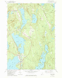
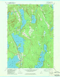
Editions of this 1981 Raymond Map
3 editions found
Other maps of this area

1894 · Gray
USGS Topo · 1:62,500

1896 · Norway
USGS Topo · 1:62,500

1896 · Sebago
USGS Topo · 1:62,500

1898 · Gray
USGS Topo · 1:62,500

1908 · Poland
USGS Topo · 1:62,500

1940 · Poland
USGS Topo · 1:62,500

1942 · Poland
USGS Topo · 1:62,500

1942 · Gray
USGS Topo · 1:62,500

1942 · Sebago Lake
USGS Topo · 1:62,500

1943 · Sebago Lake
USGS Topo · 1:62,500