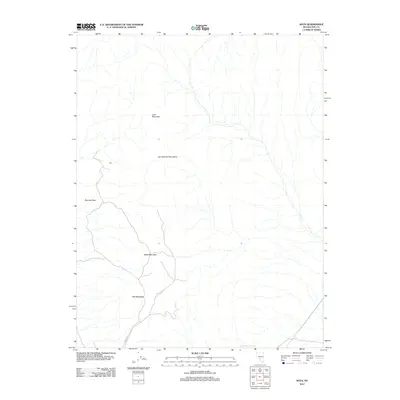
2012 Map of Rays
USGS Topo · Published 2012About this map
San Antonio Mountains define the high ground of this Nye County landscape, where peaks like Black Mountain and Rhyolite Peak dominate the skyline. In this high desert environment, isolated water sources are critical features, notably Slaughterhouse Spring located in the southeastern quadrant. The topography is characterized by dramatic elevation changes, rising from the desert floor to the heights of Lime Mountain and Red Mountain.
Find a feature on this map
8 named features on this map. Tap any name to fly to it.
Don’t see what you’re looking for? This feature index may not catch every label — zoom into the map to look around manually.
Map Details
Editions of this 2012 Rays Map
This is the sole edition of this map. No revisions or reprints were ever made.
Other maps of this area

1907 · Tonopah
USGS Topo · 1:250,000

1908 · Tonopah
USGS Topo · 1:250,000

1956 · Tonopah
USGS Topo · 1:250,000

1959 · Tonopah
USGS Topo · 1:250,000
1960 · Tonopah
USGS Topo · 1:24,000

1961 · Tonopah
USGS Topo · 1:62,500

1961 · Lone Mtn
USGS Topo · 1:62,500

1962 · Tonopah
USGS Topo · 1:250,000

1963 · Baxter Spring
USGS Topo · 1:62,500

1964 · San Antonio Ranch
USGS Topo · 1:62,500