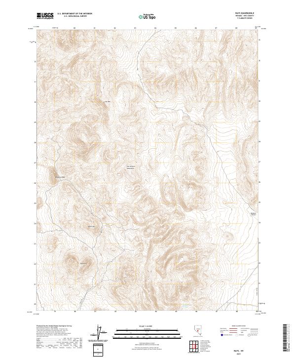
2021 Map of Rays
USGS Topo · Published 2021About this map
The San Antonio Mountains dominate this arid landscape in Nye County, characterized by a series of prominent volcanic peaks. Lime Mtn and Rhyolite Peak rise sharply in the northern and western sections of the quadrangle, while Black Mtn and Red Mtn anchor the southern terrain. This area represents a classic Great Basin environment where high-elevation summits drop away into the expansive Ralston Desert and Ralston Valley to the east.
Find a feature on this map
14 named features on this map. Tap any name to fly to it.
Don’t see what you’re looking for? This feature index may not catch every label — zoom into the map to look around manually.
Map Details
Editions of this 2021 Rays Map
This is the sole edition of this map. No revisions or reprints were ever made.
Other maps of this area

1907 · Tonopah
USGS Topo · 1:250,000

1908 · Tonopah
USGS Topo · 1:250,000

1956 · Tonopah
USGS Topo · 1:250,000

1959 · Tonopah
USGS Topo · 1:250,000
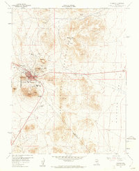
1960 · Tonopah
USGS Topo · 1:24,000

1961 · Tonopah
USGS Topo · 1:62,500

1961 · Lone Mtn
USGS Topo · 1:62,500

1962 · Tonopah
USGS Topo · 1:250,000

1963 · Baxter Spring
USGS Topo · 1:62,500

1964 · San Antonio Ranch
USGS Topo · 1:62,500