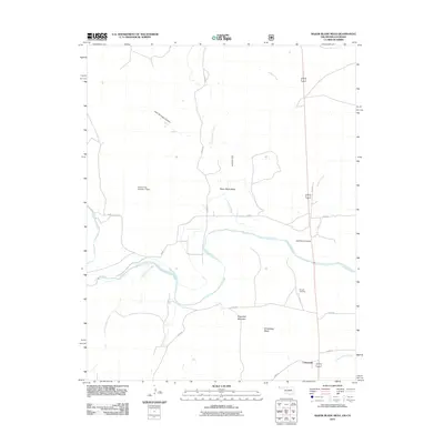
2011 Map of Razor Blade Mesa
USGS Topo · Published 2011About this map
The Cimarron River carves a deep path through this section of Cimarron County, defining a rugged landscape of high mesas and eroded canyons at the turn of the 21st century. The settlement of Castaneda sits in the southeast, situated near the intersection of several regional roads and the drainage of Flagg Springs Creek. This arid terrain is marked by significant topographical shifts, from the prominent Sugarloaf Mountain to the broad expanse of Razor Blade Mesa and Winchester Mesa.
Find a feature on this map
22 named features on this map. Tap any name to fly to it.
Don’t see what you’re looking for? This feature index may not catch every label — zoom into the map to look around manually.
Map Details
Editions of this 2011 Razor Blade Mesa Map
This is the sole edition of this map. No revisions or reprints were ever made.
Other maps of this area

1891 · Springfield
USGS Topo · 1:125,000

1892 · Vilas
USGS Topo · 1:125,000

1893 · Springfield
USGS Topo · 1:125,000

1954 · Dalhart
USGS Topo · 1:250,000

1955 · La Junta
USGS Topo · 1:250,000

1958 · La Junta
USGS Topo · 1:250,000

1958 · Dalhart
USGS Topo · 1:250,000

1962 · Dalhart
USGS Topo · 1:250,000

1968 · La Junta
USGS Topo · 1:250,000

1968 · Autograph Cliff NW
USGS Topo · 1:24,000