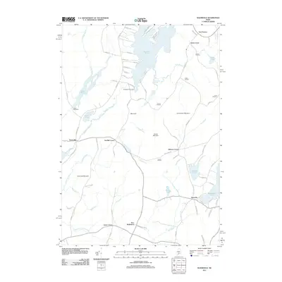
2011 Map of Razorville
USGS Topo · Published 2011About this map
Sheepscot Pond and the headwaters of the Sheepscot River dominate this central Maine landscape, where the town lines of China, Palermo, Somerville, and Liberty converge. The terrain is defined by a series of north-south ridges and low-lying wetlands, with notable elevations at Patrick Mountain and Cunningham Mountain. Water management for local industry is evident at the Colby Mills Dam and Sheepscot Pond Dam, while the presence of a Fish Hatchery near the pond’s edge suggests a continued reliance on these natural water resources.
Find a feature on this map
82 named features on this map. Tap any name to fly to it.
Don’t see what you’re looking for? This feature index may not catch every label — zoom into the map to look around manually.
Map Details
Editions of this 2011 Razorville Map
This is the sole edition of this map. No revisions or reprints were ever made.
Other maps of this area

1893 · Vassalboro
USGS Topo · 1:62,500

1893 · Wiscasset
USGS Topo · 1:62,500

1898 · Vassalboro
USGS Topo · 1:62,500

1913 · Waldoboro
USGS Topo · 1:48,000

1915 · Waldoboro
USGS Topo · 1:62,500

1916 · Liberty
USGS Topo · 1:62,500

1941 · Waldoboro
USGS Topo · 1:62,500

1941 · Vassalboro
USGS Topo · 1:62,500

1942 · Liberty
USGS Topo · 1:62,500

1943 · Vassalboro
USGS Topo · 1:62,500