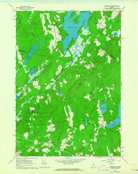
1961 Map of Razorville
USGS Topo · Published 1964About this map
Sheepscot Pond dominates the northern reaches of this mid-century landscape, serving as the headwaters for the Sheepscot River as it winds southward toward Somerville. The mapping reveals a complex jurisdictional patchwork of the early 1960s, notably the unincorporated Hibberts Gore and the sprawling Somerville Plantation. These administrative divisions underscore the sparse, rural character of the region during this era.
Find a feature on this map
46 named features on this map. Tap any name to fly to it.
Don’t see what you’re looking for? This feature index may not catch every label — zoom into the map to look around manually.
Map Details
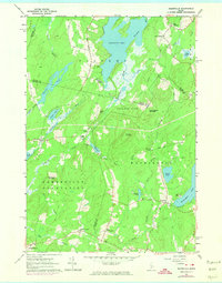
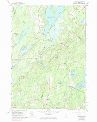
Editions of this 1961 Razorville Map
3 editions found
Other maps of this area

1893 · Vassalboro
USGS Topo · 1:62,500

1893 · Wiscasset
USGS Topo · 1:62,500

1898 · Vassalboro
USGS Topo · 1:62,500

1913 · Waldoboro
USGS Topo · 1:48,000

1915 · Waldoboro
USGS Topo · 1:62,500

1916 · Liberty
USGS Topo · 1:62,500

1941 · Waldoboro
USGS Topo · 1:62,500

1941 · Vassalboro
USGS Topo · 1:62,500

1942 · Liberty
USGS Topo · 1:62,500

1943 · Vassalboro
USGS Topo · 1:62,500