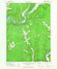
1965 Map of Readburn
USGS Topo · Published 1966About this map
The Cannonsville Reservoir dominates this Delaware County landscape, illustrating the mid-century transformation of the Catskills to support the N.Y. City Water Supply. This survey captures the region just as the reservoir's construction altered the valley of the West Branch Delaware River, showing the proximity of settlements like Rock Rift and Beerston to the new shoreline. To the south, the terrain remains deeply wooded and steep, protected within the Sixts Forest Preserve.
Find a feature on this map
47 named features on this map. Tap any name to fly to it.
Don’t see what you’re looking for? This feature index may not catch every label — zoom into the map to look around manually.
Map Details
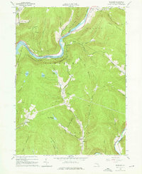
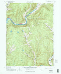
Editions of this 1965 Readburn Map
3 editions found
Other maps of this area

1920 · Long Eddy
USGS Topo · 1:62,500

1921 · Long Eddy
USGS Topo · 1:48,000

1923 · Long Eddy
USGS Topo · 1:62,500

1923 · Walton
USGS Topo · 1:48,000

1924 · Starrucca
USGS Topo · 1:48,000

1924 · Deposit
USGS Topo · 1:62,500

1925 · Walton
USGS Topo · 1:62,500

1926 · Deposit
USGS Topo · 1:62,500

1926 · Starrucca
USGS Topo · 1:62,500

1930 · Starrucca
USGS Topo · 1:48,000