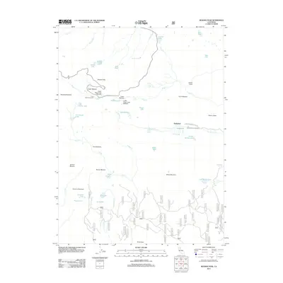
2012 Map of Reading Peak
USGS Topo · Published 2012About this map
Reading Peak and Bumpass Mountain dominate the high volcanic terrain of this Shasta County landscape, where geothermal activity is visible at sites like Devils Kitchen and the Terminal Geyser. The area is defined by a dense network of high-altitude water bodies, including Summit Lake, Boiling Springs Lake, and Cold Boiling Lake, which feed the headwaters of Kings Creek and Rice Creek.
Find a feature on this map
85 named features on this map. Tap any name to fly to it.
Don’t see what you’re looking for? This feature index may not catch every label — zoom into the map to look around manually.
Map Details
Editions of this 2012 Reading Peak Map
This is the sole edition of this map. No revisions or reprints were ever made.
Other maps of this area

1886 · Lassen Peak
USGS Topo · 1:250,000

1892 · Lassen Peak
USGS Topo · 1:250,000

1894 · Lassen Peak
USGS Topo · 1:250,000

1935 · Burney
USGS Topo · 1:96,000

1935 · Paynes Creek
USGS Topo · 1:96,000

1939 · Burney
USGS Topo · 1:125,000

1939 · Halls Flat
USGS Topo · 1:125,000

1941 · Mineral
USGS Topo · 1:125,000

1955 · Westwood
USGS Topo · 1:250,000

1956 · Lassen Peak
USGS Topo · 1:62,500