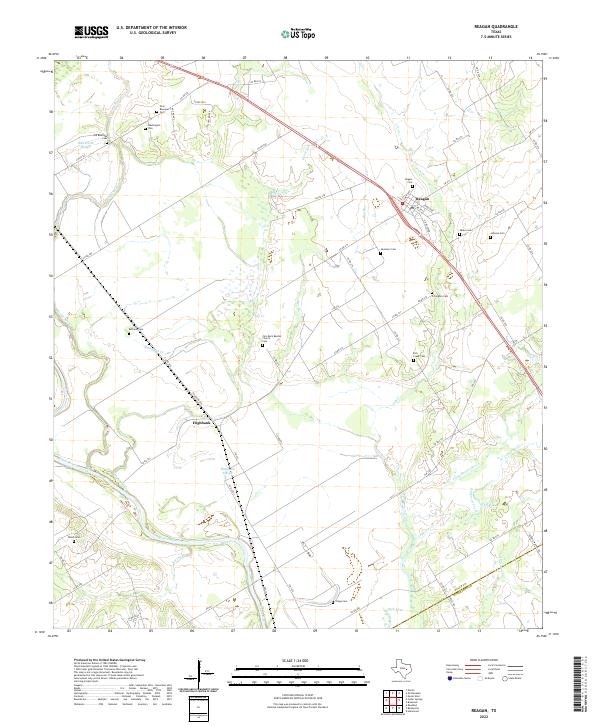
2022 Map of Reagan
USGS Topo · Published 2022About this map
Brazos River bottomlands and the rich agricultural blacklands of Falls County define this landscape, where small rural communities like Reagan and Highbank serve as local anchors. The map reveals a dense network of family and community history preserved through numerous burial sites, including the New Bowman Cem, Old Bowman Cem, and Rogers Cem. The spiritual life of the area is centered at the Zion Rock Baptist Church and its adjacent Zion Rock Baptist Cem.
Find a feature on this map
74 named features on this map. Tap any name to fly to it.
Don’t see what you’re looking for? This feature index may not catch every label — zoom into the map to look around manually.
Map Details
Editions of this 2022 Reagan Map
This is the sole edition of this map. No revisions or reprints were ever made.
Other maps of this area

1954 · Waco
USGS Topo · 1:250,000

1955 · Waco
USGS Topo · 1:250,000

1957 · McClanahan
USGS Topo · 1:24,000

1957 · Marlin
USGS Topo · 1:24,000

1961 · Baileyville
USGS Topo · 1:24,000

1962 · Rosebud
USGS Topo · 1:24,000

1962 · Hammond
USGS Topo · 1:24,000

1962 · Reagan
USGS Topo · 1:24,000

1962 · Cedar Springs
USGS Topo · 1:24,000

1962 · Bremond
USGS Topo · 1:24,000