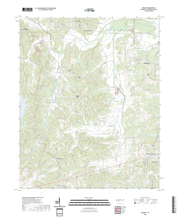
2022 Map of Reagan
USGS Topo · Published 2022About this map
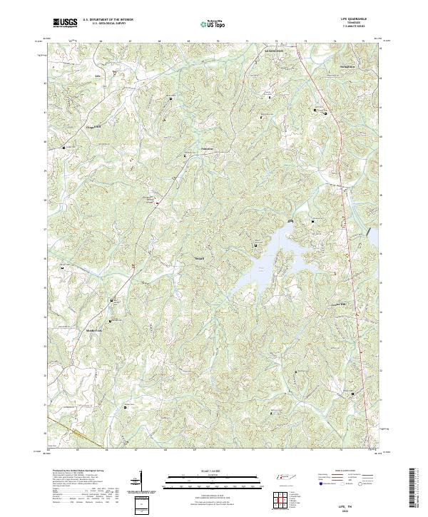
Reagan and Scotts Hill anchor this rural landscape in Henderson County, where the topography is defined by the winding course of the Beech River and its numerous tributaries. The map details a network of local roads that connect small settlements like Middleburg and Shady Hill, reflecting a persistent pattern of Tennessee backcountry settlement. Higher ground is marked by prominent points such as Big Pine Knob and Little Pine Knob, while the lowlands are punctuated by water bodies like Hesse Lake and Sycamore Lake. Genealogists will find significant value in the documentation of local burial sites, including Buckley Cem, New Hope Cem, and Powers Cem, which sit alongside historic routes such as Shady Hill Reagan Rd and Ebenezer Rd. The transition from the river valley to the ridgelines illustrates the agricultural and residential layout of the region, including smaller crossings like Taylors Crossing.
Find a feature on this map
96 named features on this map. Tap any name to fly to it.
Don’t see what you’re looking for? This feature index may not catch every label — zoom into the map to look around manually.
Map Details
Editions of this 2022 Reagan Map
This is the sole edition of this map. No revisions or reprints were ever made.
Historical Maps of Rock Hill Through Time
10 maps found
1936 Life
Henderson County, TN
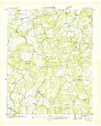
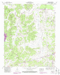
1936 Reagan
Henderson County, TN
1950 Life
Henderson County, TN
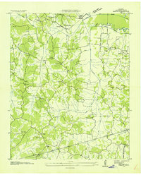
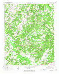
1950 Reagan
Henderson County, TN

1955 Juno
Henderson County, TN
1966 Cedar Grove
Henderson County, TN
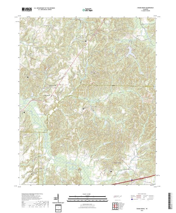
2022 Cedar Grove
Henderson County, TN
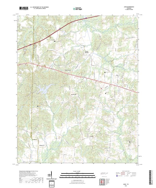
2022 Juno
Henderson County, TN
2022 Life
Henderson County, TN
2022 Reagan
Henderson County, TN