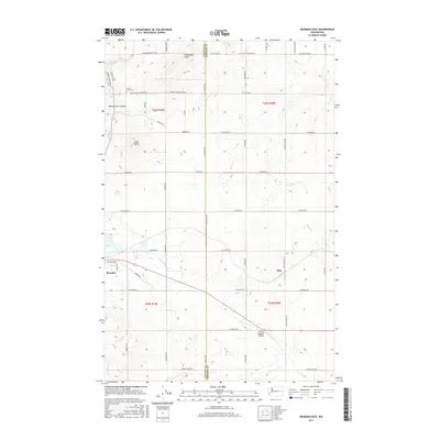
2017 Map of Reardan East
USGS Topo · Published 2017About this map
The town of Reardan anchors the western edge of this landscape, situated along the Lincoln Co Spokane Co line in Eastern Washington. The topography is defined by significant volcanic features and drainages, including the prominent Shoemaker Butte and Grays Butte which rise above the surrounding agricultural fields. Water moves through the terrain via Spring Creek Canyon and the winding channels of Coulee Cr, while the community of Hite is positioned to the east.
Find a feature on this map
90 named features on this map. Tap any name to fly to it.
Don’t see what you’re looking for? This feature index may not catch every label — zoom into the map to look around manually.
Map Details
Editions of this 2017 Reardan East Map
This is the sole edition of this map. No revisions or reprints were ever made.
Other maps of this area

1943 · Medical Lake
USGS Topo · 1:62,500

1944 · Clayton
USGS Topo · 1:62,500

1944 · Wellpinit
USGS Topo · 1:62,500

1945 · Reardan
USGS Topo · 1:62,500

1950 · Clayton
USGS Topo · 1:62,500

1953 · Reardan
USGS Topo · 1:62,500

1953 · Wellpinit
USGS Topo · 1:62,500

1954 · Medical Lake
USGS Topo · 1:24,000

1954 · Medical Lake
USGS Topo · 1:62,500

1954 · Deep Creek
USGS Topo · 1:24,000